Taking the opportunities of developing technologies, we were one of the first archaeology companies in the UK to include drone survey to our services. [ For our Main Aerial Survey website, please follow this link: www.skyscapesurvey.com].
We have a dedicated survey team and our services include large landscape examinations, a single site surveys, photogrammetric survey and site condition monitoring. We also provide 3D imaging, ranging from photo-realistic modelling to contour or shaded models as well as short promotional video clips and publication ready images in various formats.
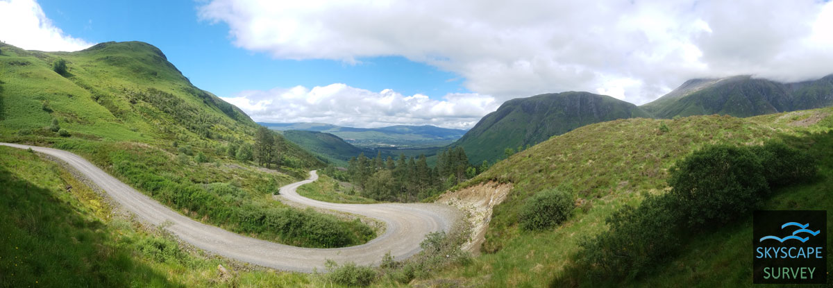
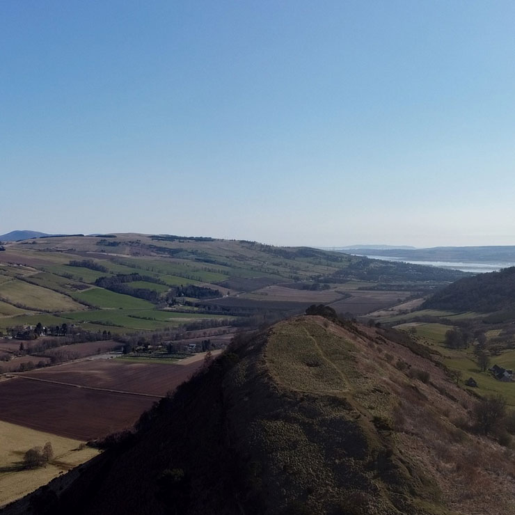
Dun Deardail overlooking Ben Nevis, Scotland
Case Studies
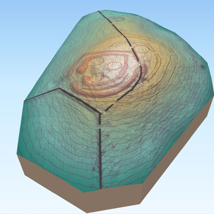
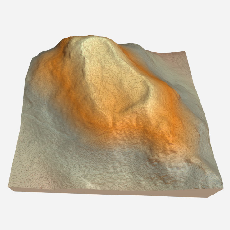 Project: Dun Deardail Fort, Glen Nevis, Scottish Highlands, Scotland (2017)
Client: Forestry and Land Scotland
Oblique photographs of site for publication and promotional material, including a vertical shot and a detailed topographic image. Photogrammetric survey and a high-resolution 3D model transformed into a referenced GeoTIFF and georeferenced Orthoimage of the site.
Links
Forestry Commission Scotland 2018: The Archaeology of Dun Deardail- An Iron Age hillfort in Glen Nevis booklet. Downloadable here: https://forestryandland.gov.scot/what-we-do/biodiversity-and-conservation/historic-environment-conservation/learning/dun-deardail?highlight=archaeology
 Project: Dun da Lamh fort, Scottish Highlands (2018)
Client: Forestry and Land Scotland
A series of oblique photographs of the site in its wider landscape setting for publication and promotional material. A vertical shot of the site and a detailed topographic image and a high-resolution 3D model of the site.
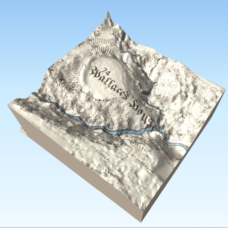 Project: Wallace’s House, Dumfries and Galloway, Scotland (2020)
Client: Forestry and Land Scotland
Oblique photographs of the site for publication and promotional material, including a vertical shot of the site and a SUA based aerial survey for creation of a detailed topographic image. In addition, production of a georeferenced ortho-image and 3D model of the site viewable on html browser.
Links
https://www.bbc.com/news/uk-scotland-south-scotland-52536578
https://forestryandland.gov.scot/blog/wallace-s-house
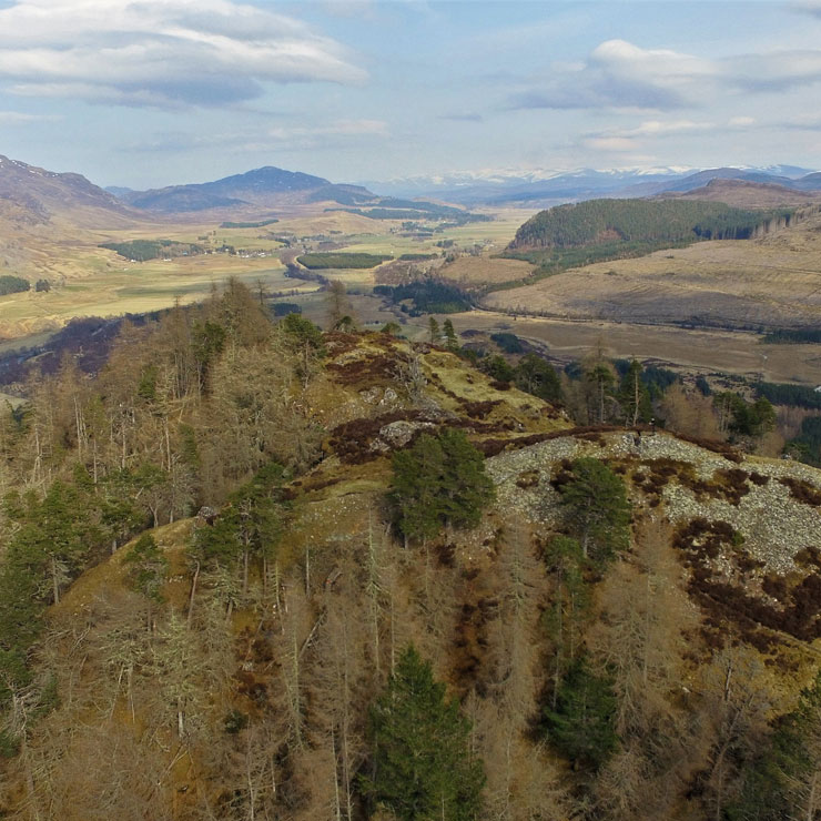
 Project: Castle Hill, Glentress, Scottish Borders (2019)
Client: Forestry and Land Scotland
Drone photogrammetric survey of the site to enhance previous terrestrial survey and interpretation, and to provide a 3D model and aerial images, including georeferenced ortho-image and a full panorama as well as oblique photographs for publication and promotional material.
Links
https://forestryandland.gov.scot/blog/archaeology-from-sky?highlight=archaeology
 Project: Knockfarrel Hillfort, Dingwall, Scottish Highlands (2021)
Client: Forestry and Land Scotland
Drone survey of the site to enhance previous terrestrial survey and interpretation, and to provide a 3D model (viewable on html browser) and aerial images, including georeferenced ortho-image and a full panorama as well as oblique photographs for publication and promotional material.
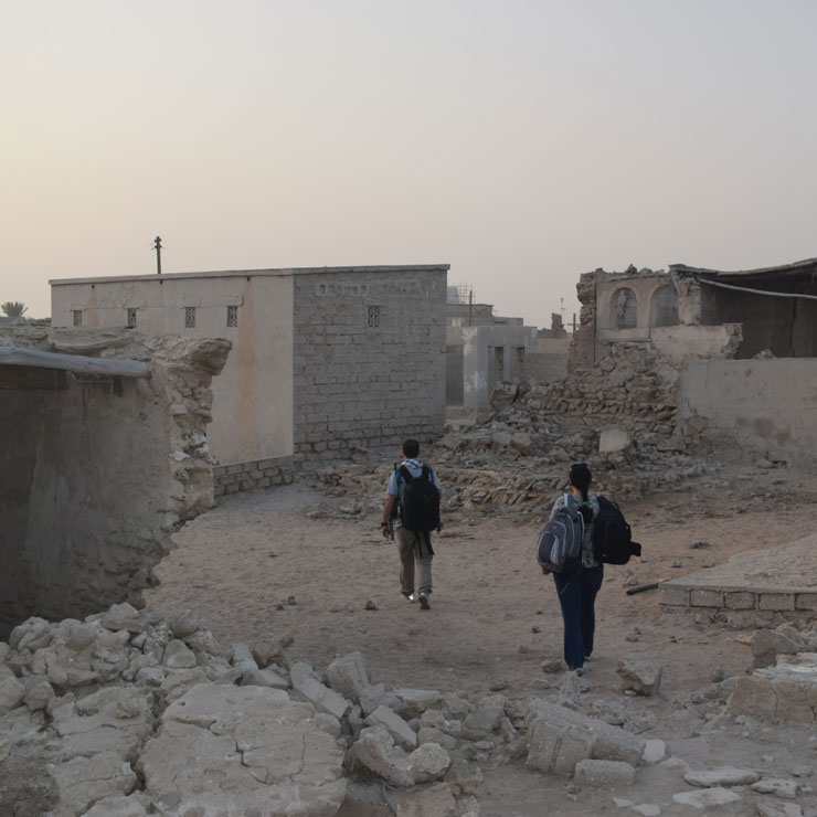 Project: Al Jazeera Al Hamra, Ras Al Khaimah, UAE (2015-2016)
Client: Department of Antiquities and Museums, Ras Al Khaimah
Aerial survey of the village; production of scaled ortho-imagery for the creation of compound and structure plans to be used for the historic buildings recording (HBRs).
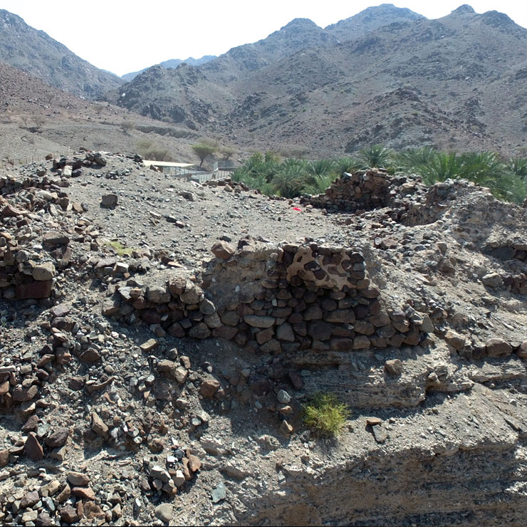 Project: Rafaq Fort, Ras Al Khaimah, UAE (2017)
Client: Department of Antiquities and Museums, Ras Al Khaimah
Aerial survey of the fort for heritage management purposes; production of scaled ortho-imagery for site condition monitoring and contour plan.